- бизнес-книги
- детские книги
- дом, дача
- зарубежная литература
-
знания и навыки
- изучение языков
- компьютерная литература
- научно-популярная литература
- словари, справочники
-
учебная и научная литература
- безопасность жизнедеятельности
- военное дело
- гуманитарные и общественные науки
- естественные науки
- задачники
- монографии
- научные труды
- практикумы
- прочая образовательная литература
- сельское и лесное хозяйство
- технические науки
- учебники и пособия для вузов
- учебники и пособия для ссузов
- учебно-методические пособия
- история
- комиксы и манга
- легкое чтение
- психология, мотивация
- публицистика и периодические издания
- родителям
- серьезное чтение
- спорт, здоровье, красота
- хобби, досуг
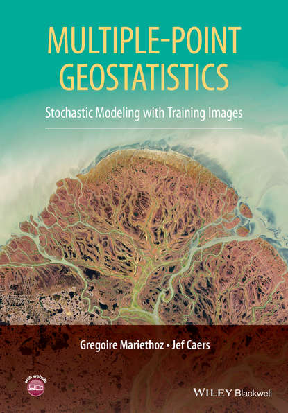
Professor Gregoire Mariethoz — Multiple-point Geostatistics
Купить и скачать за 13897.35 ₽

Понравилась книга? Поделись в соцсетях:
Автор: Professor Gregoire Mariethoz
Издатель: John Wiley & Sons Limited
ISBN: 9781118662946
Описание: This book provides a comprehensive introduction to multiple-point geostatistics, where spatial continuity is described using training images. Multiple-point geostatistics aims at bridging the gap between physical modelling/realism and spatio-temporal stochastic modelling. The book provides an overview of this new field in three parts. Part I presents a conceptual comparison between traditional random function theory and stochastic modelling based on training images, where random function theory is not always used. Part II covers in detail various algorithms and methodologies starting from basic building blocks in statistical science and computer science. Concepts such as non-stationary and multi-variate modeling, consistency between data and model, the construction of training images and inverse modelling are treated. Part III covers three example application areas, namely, reservoir modelling, mineral resources modelling and climate model downscaling. This book will be an invaluable reference for students, researchers and practitioners of all areas of the Earth Sciences where forecasting based on spatio-temporal data is performed.